The land
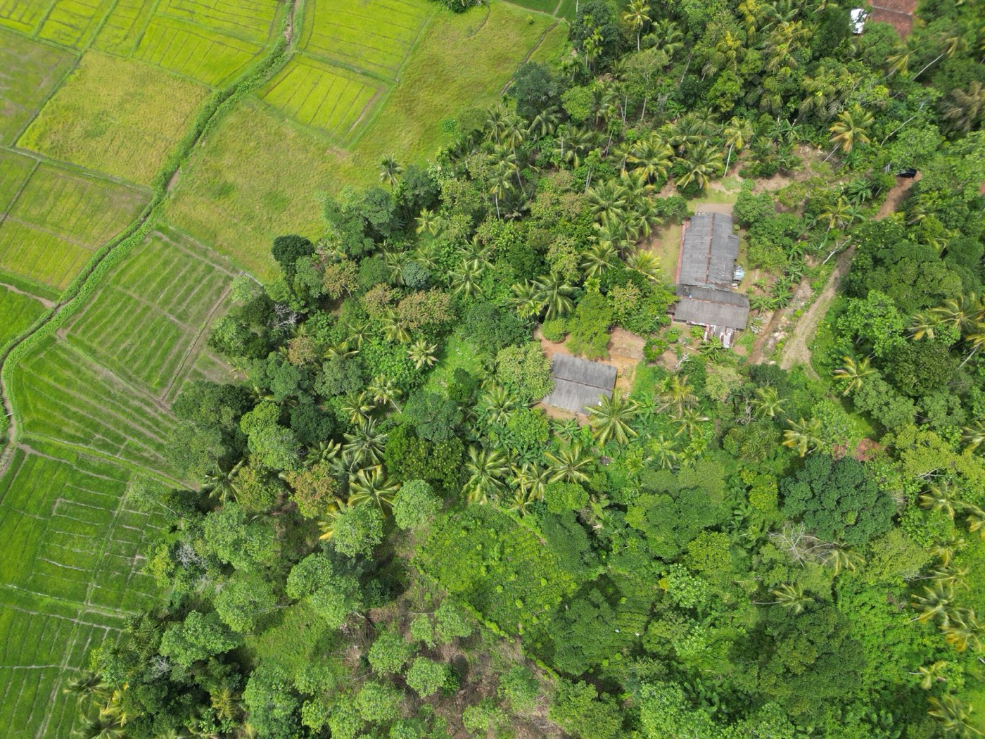
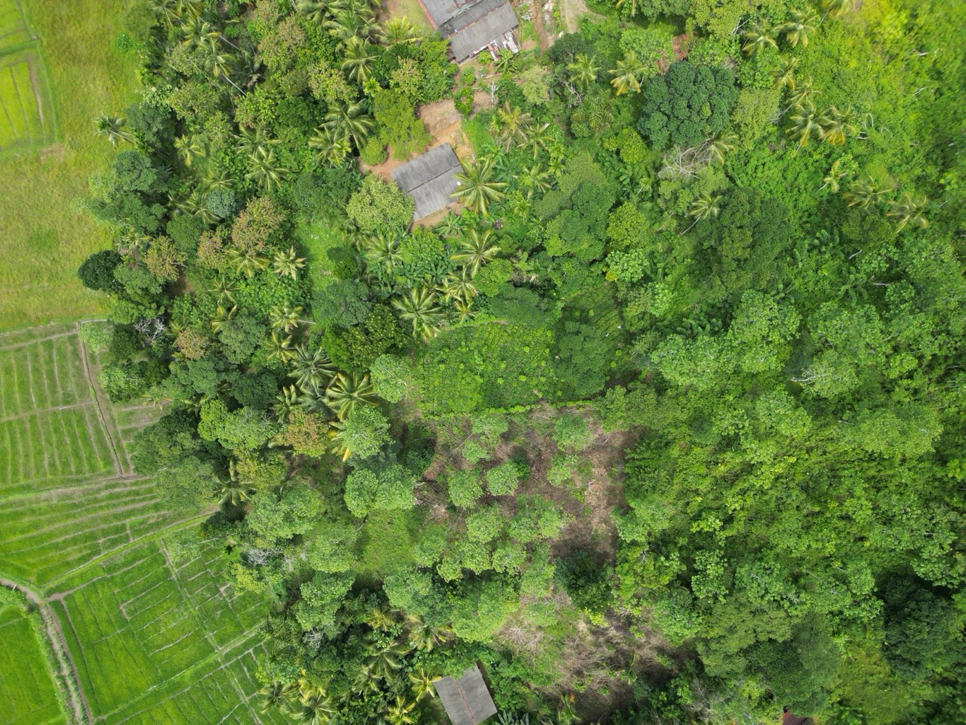
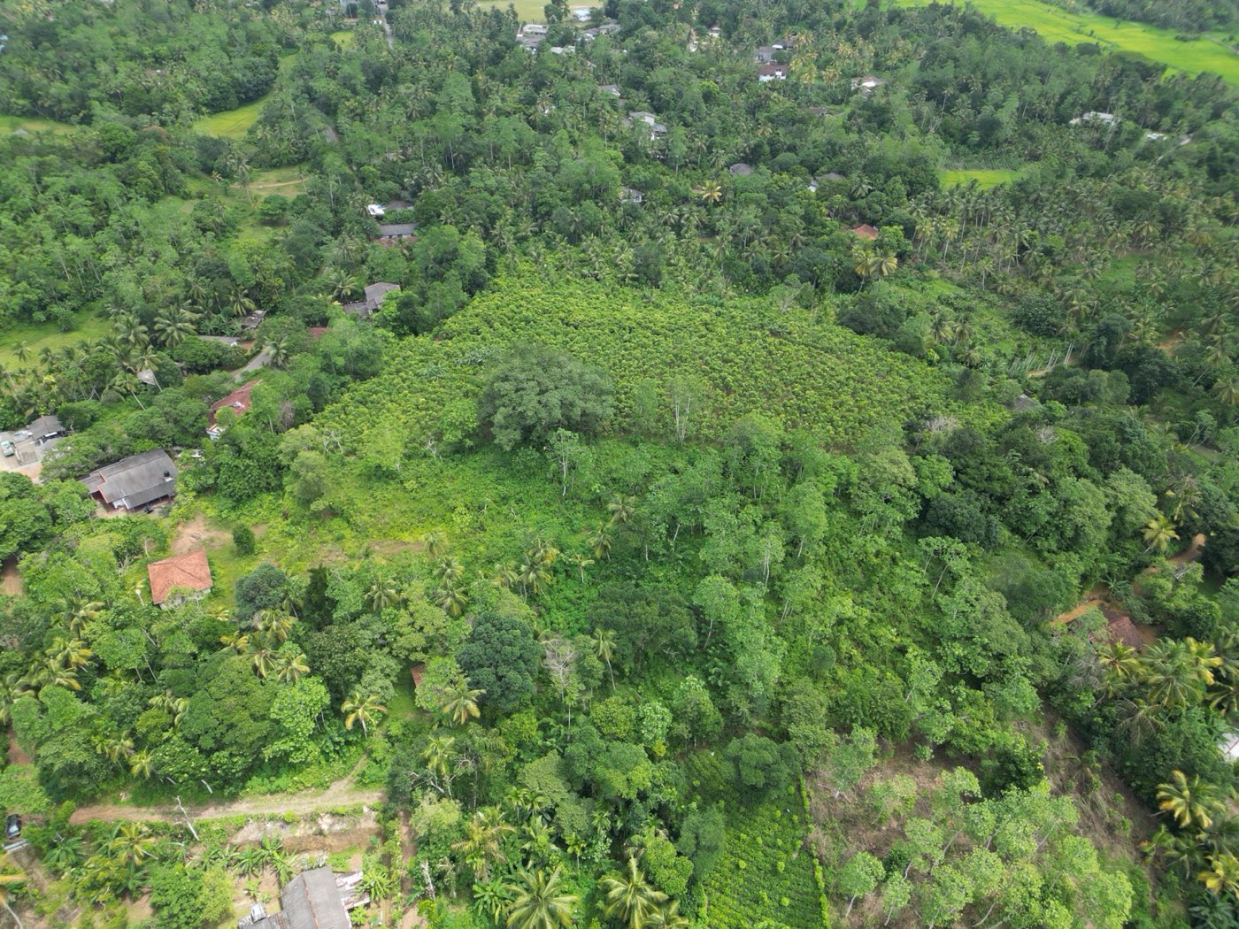
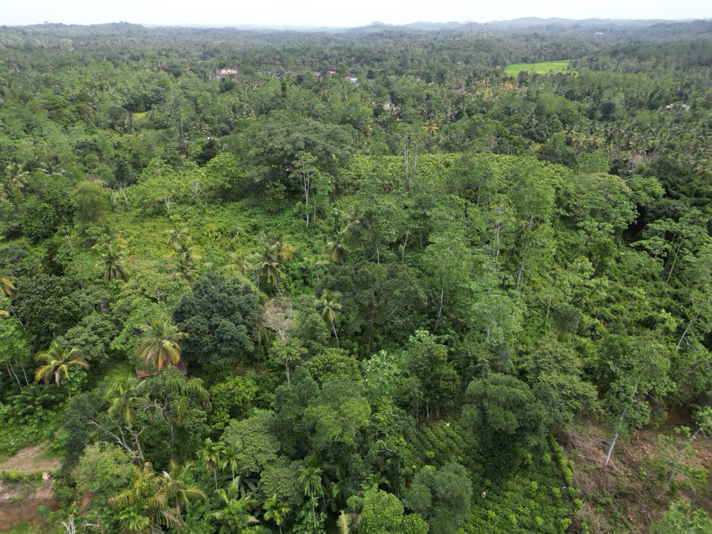
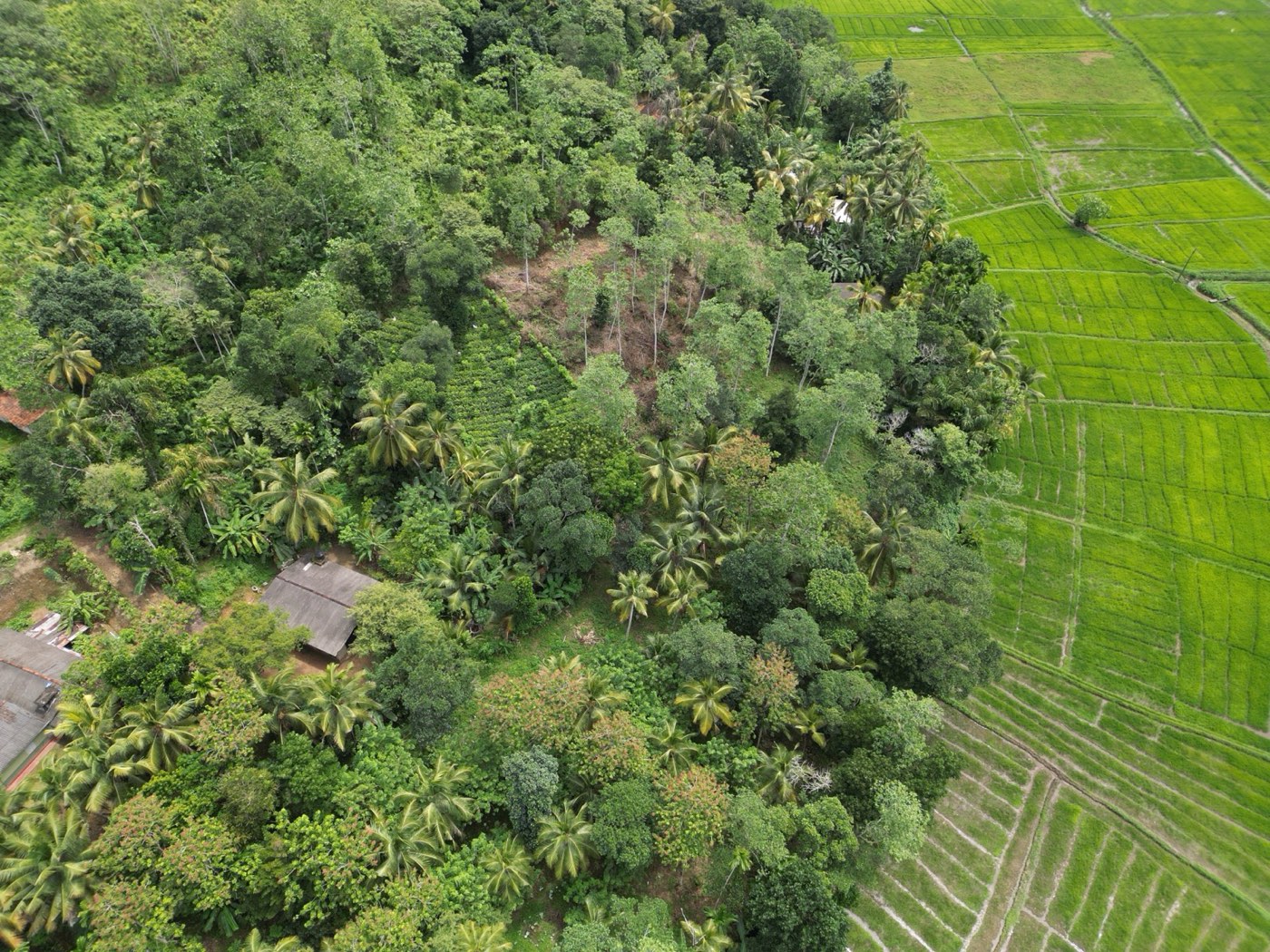
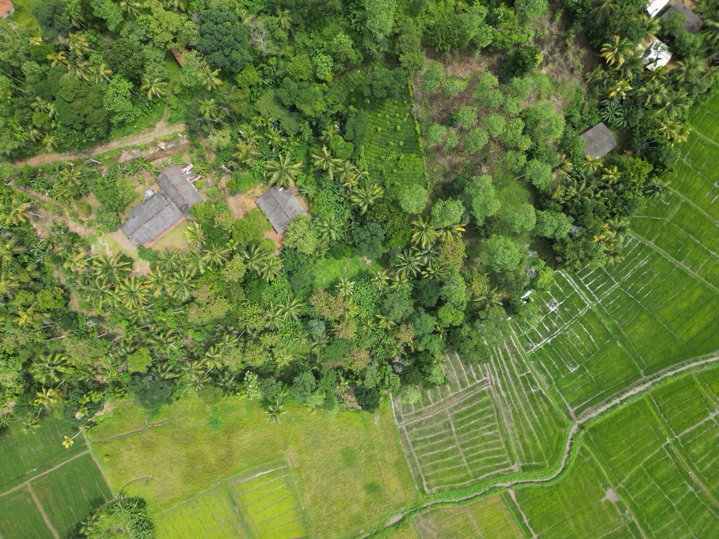
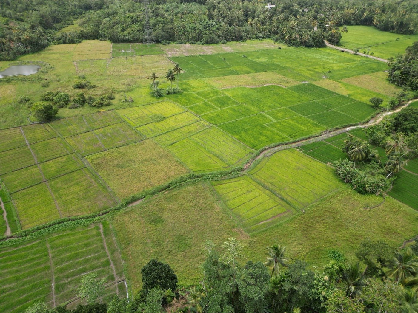
The land sits on a rise at the edge of the Kotuwatta Wala paddy fields, so its whole eastern side looks out over open green fields that change colour with each planting. Behind it are coconut palms, older trees and a slope of tea, which keep it private and cool.
It was re-surveyed in June 2025 and its nine original lots amalgamated into one Lot A. It is owned by a Sri Lankan company, Tesseract Properties (Pvt) Ltd, which bought it in July 2025.
- Open paddy-field views along the east boundary
- Road access on the south side
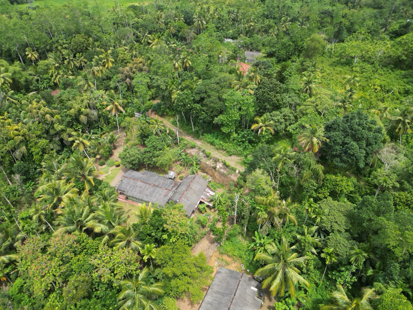
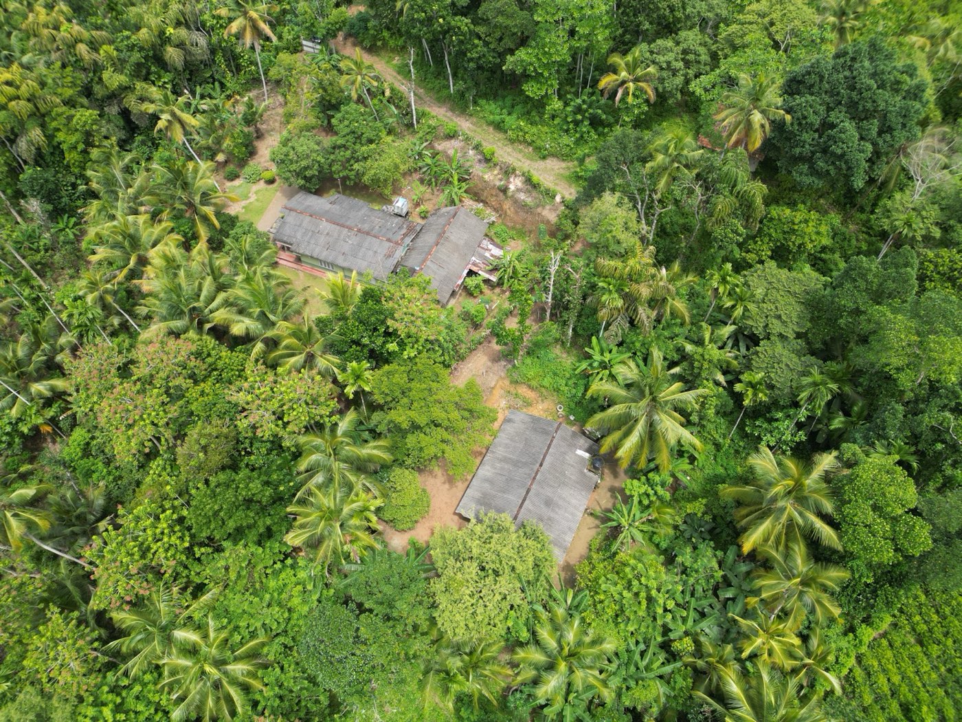
- Coconut, tea and mature trees already on the land
- Boundaries marked with concrete posts and live fences
- Contour survey done in 2025; survey plan approval in progress
- Suited to a private house or a small villa project
NorthLot D of the same land
EastKotuwatta Wala Kumbura (paddy field)
SouthLot 12 and the road (Lot 13)
WestLot C and Lot 10 of the same land
From the air
 Open in Google Maps
Where it is
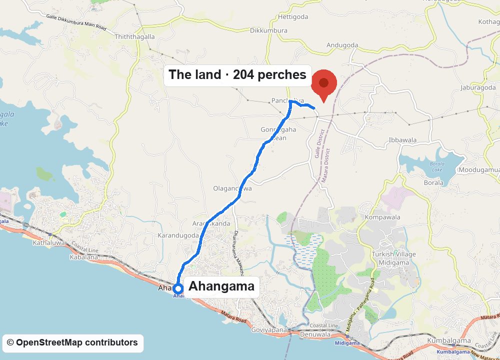
Andugoda, in the hills inland from Ahangama on Sri Lanka's south coast, in the Habaraduwa division of Galle District.
8 min · 4.8 km by road to Ahangama town and beach
293P+XWH Ahangama · 6.0049389, 80.3873501
- Ahangama beach (straight line)4.4 km
- Midigama4.8 km
- Weligama bay5.8 km
- Koggala7.2 km
- Mirissa10.1 km
- Galle Fort19.0 km
Details
- Extent
- 1A 1R 4.20P · 204.20 perches · 0.51648 ha
- Land
- Lot A of the land called Lot E of Katuwatta Wala Watta
- Location
- Andugoda, No. 170 Andugoda Grama Niladhari Division, Habaraduwa D.S. Division, Talpe Pattu, Galle District, Southern Province
- Survey
- Plan No. 14425 by R. Uyangoda, Licensed Surveyor, surveyed 28 June 2025
- Owner
- Tesseract Properties (Pvt) Ltd
- Documents
- Survey plan, title deed, 2025 contour plan, company documents and the full drone footage, available to serious buyers